Bianca Ludwig · 21 September 2026
Tracing Drone-Assisted Surveying Techniques for Refining Coastal Contour Lines in Southern African Mapping Projects
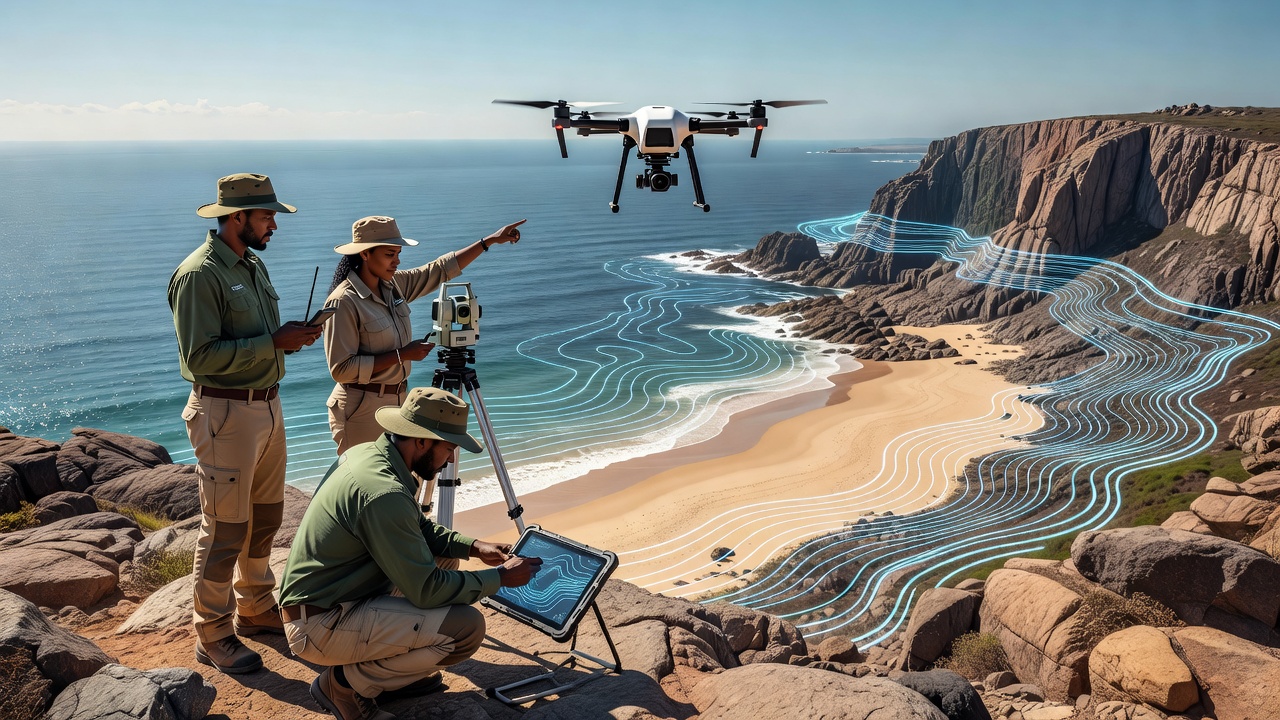
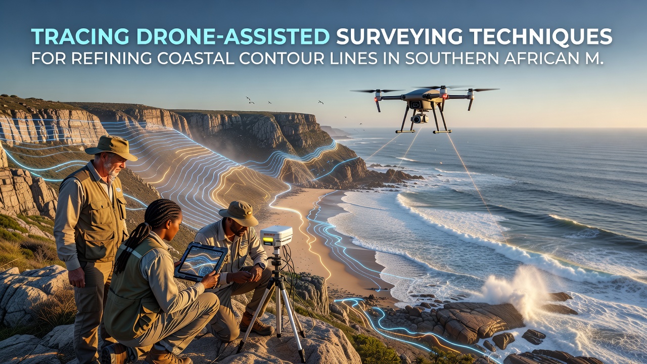
Drone-assisted surveying has become a standard approach in Southern African mapping projects that focus on coastal contour lines, where teams deploy unmanned aerial vehicles equipped with LiDAR sensors and multispectral cameras to capture elevation data across dynamic shorelines. These systems collect point clouds at densities reaching several hundred points per square meter, which processing software converts into contour lines accurate to within 10 centimeters vertically. Researchers at institutions across South Africa, Namibia, and Mozambique have integrated real-time kinematic GPS corrections with drone flights to reduce positional drift, and this combination allows surveyors to cover stretches of coastline that once required weeks of manual theodolite work in a matter of days.
Technical Components of Drone-Based Coastal Mapping
Survey teams select fixed-wing or multirotor platforms depending on the terrain and required endurance, with fixed-wing models favored for long linear transects along beaches and multirotor units used for detailed work around estuaries and rocky headlands. Onboard inertial measurement units record orientation data at high frequency while ground control points surveyed with total stations anchor the photogrammetric bundle adjustment. Software packages such as Pix4D and Agisoft Metashape align overlapping images, generate digital surface models, and extract contour intervals at 0.5-meter or 1-meter spacing. Data from these flights feeds directly into national geospatial databases maintained by government agencies, where analysts compare new contours against historical records to quantify erosion or accretion rates.
Regional Implementation Across Southern Africa
In the Western Cape and Eastern Cape provinces, mapping initiatives have used drone surveys to update coastal zone management plans that guide infrastructure placement and setback lines. Similar programs operate along the Namibian Skeleton Coast and the Mozambican shoreline, where seasonal cyclones alter beach profiles rapidly. Observers note that September 2026 marks the scheduled release of updated national topographic sheets that incorporate drone-derived contours collected during the preceding two field seasons. These sheets support environmental impact assessments for port expansions and renewable energy installations sited near the shore. Project managers coordinate flight permissions through civil aviation authorities in each country, ensuring compliance with airspace restrictions that protect both commercial air traffic and sensitive wildlife areas.
Data Integration and Accuracy Validation
Contour lines produced from drone surveys undergo cross-validation against terrestrial laser scans and bathymetric soundings collected by survey vessels operating just offshore. This multi-platform approach reveals discrepancies in the intertidal zone where waves and tides complicate single-method measurements. Studies conducted by the Council for Scientific and Industrial Research in South Africa demonstrate that combining drone LiDAR with satellite-derived digital elevation models improves overall vertical accuracy by approximately 15 percent compared with satellite data alone. Teams upload processed datasets to shared repositories accessible to regional planning offices, and standardized metadata protocols ensure compatibility with geographic information systems used by neighboring countries.
Training programs run by universities in Cape Town and Stellenbosch prepare local technicians to operate equipment and interpret resulting maps. These courses emphasize flight planning that accounts for wind patterns typical of the Benguela Current region and post-processing routines that filter vegetation returns from bare-earth models. International partners contribute through technology transfer agreements that include calibration standards traceable to the International Organization for Standardization.
Applications in Environmental Monitoring and Planning
Updated contour data supports flood-risk modeling for low-lying settlements and informs decisions about mangrove restoration projects that protect against storm surges. Government departments reference these maps when designating protected areas and when evaluating applications for coastal development permits. In one documented case along the Maputo Bay coastline, refined contours revealed previously unmapped erosion hotspots that prompted relocation of a fishing village access road. Such outcomes illustrate how high-resolution drone surveys translate into tangible adjustments in land-use policy. Researchers continue to refine algorithms that automatically detect shoreline change by comparing sequential drone datasets, reducing the manual effort required for long-term monitoring programs.
Conclusion
Drone-assisted techniques now form a core component of coastal mapping workflows throughout Southern Africa, delivering contour line data that meets the precision requirements of modern environmental and infrastructure planning. Continued investment in equipment, training, and data-sharing frameworks positions the region to maintain up-to-date geospatial resources that reflect ongoing shoreline dynamics. As September 2026 approaches, the integration of these methods into official national mapping products will further standardize practices across borders and support evidence-based decision making for coastal management.