Blake Vogel · 7 September 2026
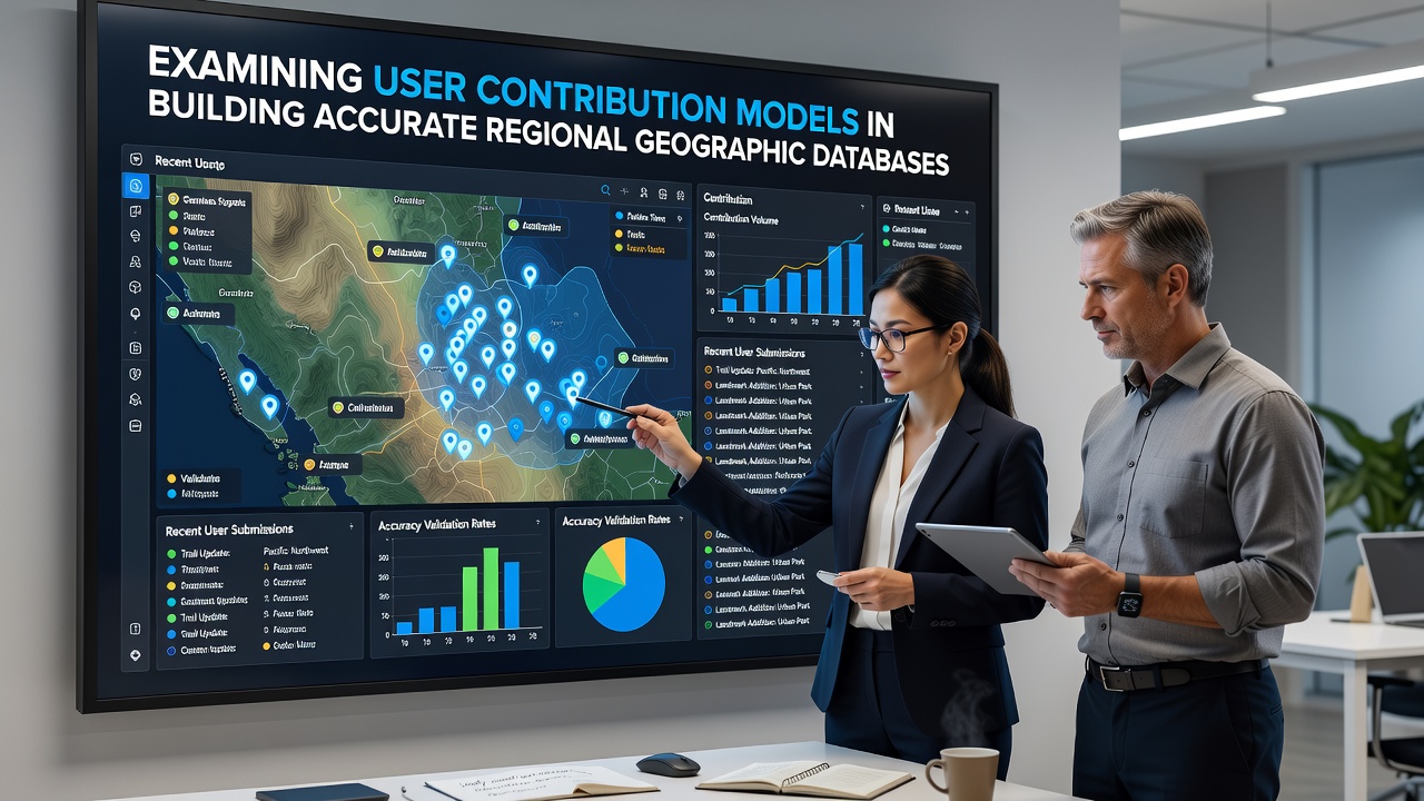
Examining User Contribution Models in Building Accurate Regional Geographic Databases
Regional geographic databases rely on structured input from distributed contributors who collect, edit, and verify spatial information across defined territories. These models combine open platforms with quality controls that researchers track through edit histories, positional accuracy tests, and cross-references with authoritative sources. Data shows that projects such as OpenStreetMap maintain separate regional chapters where local mappers focus on road networks, building footprints, and land-use polygons while central servers enforce consistency rules.
Core Structures of Contribution Systems
Contribution frameworks operate through several distinct channels that separate casual edits from sustained regional work. Bulk imports from government datasets feed base layers, after which individual users refine details using field surveys or satellite imagery. Gamified interfaces award points for completing validation tasks, and these systems log every change with timestamps and contributor identifiers so moderators can trace patterns of activity. Studies from academic teams in Canada and Australia indicate that sustained participation clusters around urban centers where internet access supports frequent uploads, whereas remote areas depend more on organized mapping parties that bring equipment to the field.
Validation layers sit above raw contributions and require multiple independent confirmations before features receive permanent status. Automated scripts flag overlaps or topology errors, then human reviewers examine flagged items against recent imagery. This two-step process reduces positional drift while preserving the speed advantage that crowdsourced input provides over traditional surveying contracts.
Regional Accuracy Patterns and Data Sources
Accuracy varies by feature type and by the density of active contributors within each administrative boundary. Road centerlines in densely populated zones often reach sub-meter precision after repeated edits, whereas trail networks in protected areas show larger deviations until dedicated groups perform targeted surveys. Figures from the European Environment Agency reveal that countries participating in the INSPIRE directive integrate national cadastral data with volunteer layers, creating hybrid products that authorities then release for public use.

Seasonal campaigns scheduled for completion around September 2026 will test new mobile capture tools across several pilot regions in Southeast Asia and Latin America. These initiatives pair local universities with mapping communities to measure how offline-first applications affect contribution rates in areas with intermittent connectivity. Preliminary reports note that device logs capture more points per session when battery-saving modes reduce upload frequency, yet overall coverage increases because participants can work farther from reliable networks.
Technical Mechanisms Supporting Quality
Version control systems record every geometric change and attribute update, allowing rollback when later verification shows errors. Conflation algorithms merge overlapping datasets from different contributors by comparing timestamps and source tags, then present conflicts for manual resolution. Observers note that regions with established mailing lists or chat channels resolve these conflicts faster because experienced editors can quickly reference local knowledge that automated tools miss.
Training materials produced by national mapping agencies guide new participants through coordinate reference systems and tagging conventions specific to each jurisdiction. Workshops held in partnership with research institutions emphasize the importance of adding source tags that link edits back to satellite imagery providers or official gazetteers, thereby improving traceability for downstream users who require citation chains.
Challenges in Maintaining Coverage Equity
Population density and economic activity continue to shape where contributions concentrate, leaving gaps in sparsely settled territories. Incentive programs tested in Australia and parts of Africa offer micro-payments or equipment loans to teams that commit to mapping predefined grid cells, and early results show measurable increases in rural feature density. Yet the same programs require ongoing coordination to prevent duplication of effort when multiple groups select the same cells.
Language barriers and differing legal frameworks around data ownership further complicate cross-border regional databases. Projects that span several countries therefore adopt neutral tagging schemas and require contributors to declare the origin of any imported material, reducing the risk that restricted national datasets enter the public layer.
Conclusion
User contribution models for regional geographic databases combine open editing platforms, layered validation, and targeted incentive structures to produce datasets that scale across administrative boundaries. Continued measurement of edit patterns, positional accuracy, and coverage gaps supplies the evidence base that project coordinators use when adjusting workflows. As new capture tools and seasonal campaigns roll out, the same verification loops that have operated for the past decade will determine whether expanded participation translates into sustained improvements in data quality across every mapped region.