David Lang · 5 October 2026
Citizen-Led Verification Processes for Updating Elevation Models in Cape Coastal Zones
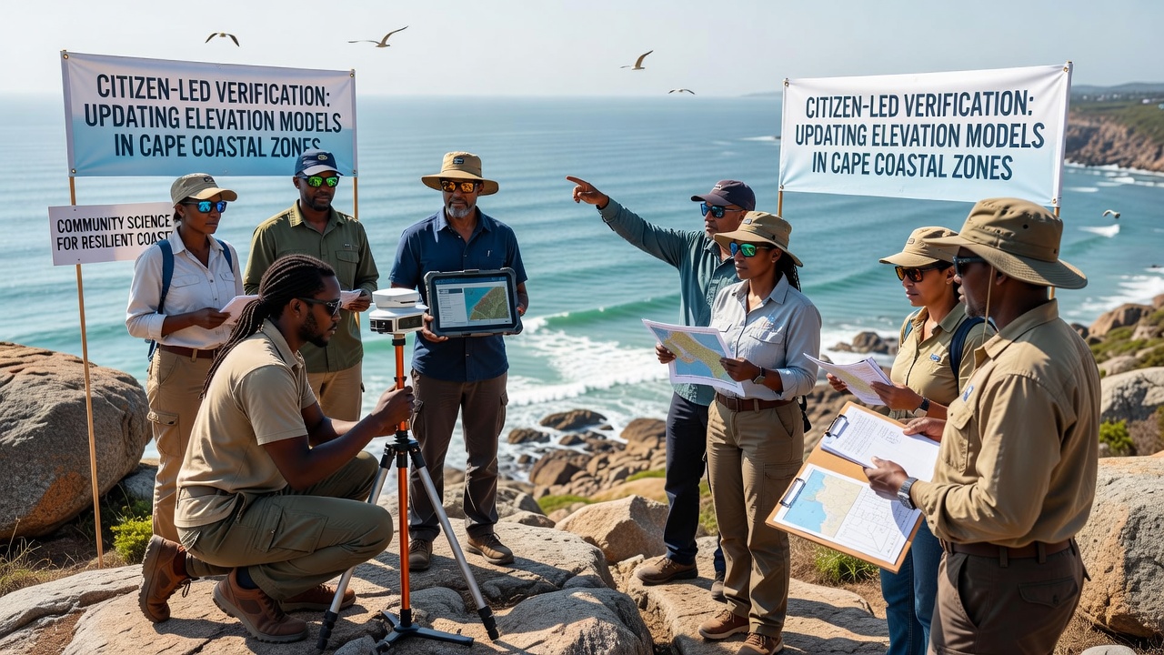
Citizen-led verification processes have gained traction in coastal mapping efforts around Cape Town and surrounding areas where elevation models require frequent updates due to erosion, sediment shifts, and tidal influences; these initiatives rely on structured protocols that combine smartphone-based data collection with expert review to maintain accuracy in digital elevation models.
Core Components of Verification Protocols
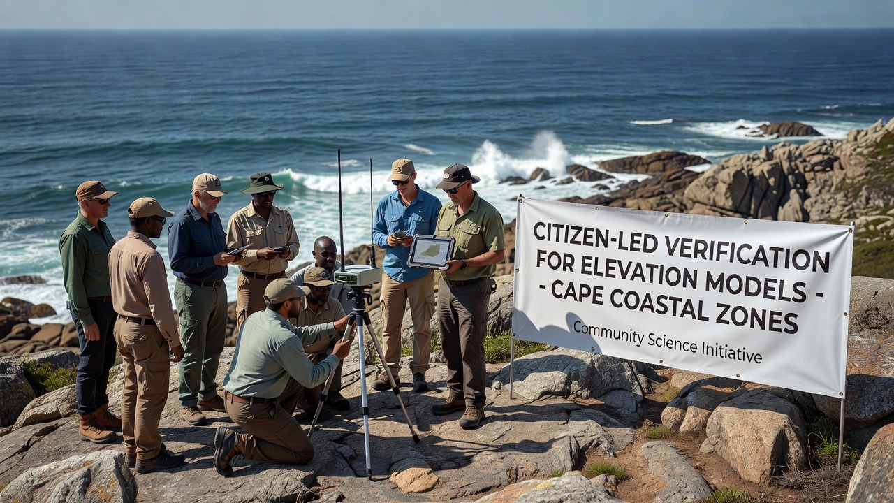
Participants receive training through regional workshops that cover standardized measurement techniques, including GPS positioning and photo documentation, while data submission occurs via secure portals that timestamp entries and log device metadata; quality control teams then cross-reference submissions against satellite imagery and existing LiDAR datasets before integrating validated points into updated models.
Researchers have noted that such processes often incorporate multi-tier review stages where initial automated filters flag outliers, and subsequent human assessments by geodesy specialists confirm or reject contributions based on statistical deviation thresholds; this layered approach helps sustain model reliability in dynamic coastal environments where changes accumulate rapidly between official survey cycles.
Integration with Regional Data Frameworks
Local agencies coordinate with citizen networks by providing baseline elevation grids derived from national surveys, allowing contributors to focus on targeted verification in priority zones such as harbor entrances and dune systems; the resulting updates feed into broader geographic information systems used for flood risk assessment and infrastructure planning across the Western Cape.
Data indicates that verification campaigns conducted between 2023 and 2025 yielded thousands of validated points that refined contour accuracy by measurable margins, particularly in areas where natural accretion and storm-driven erosion alter shorelines within months; these refinements support modeling efforts that project inundation scenarios under varying sea-level conditions.
Technological Tools and Data Standards
Mobile applications designed for these projects enforce consistent metadata capture, requiring users to log atmospheric conditions, tide levels, and reference markers alongside each elevation reading; adherence to formats compatible with international geospatial standards facilitates seamless merging with professional datasets maintained by mapping authorities.
Studies conducted by academic institutions have shown that citizen-verified points achieve acceptable precision when protocols include repeated measurements at the same locations across different tidal cycles; error margins typically fall within acceptable ranges for regional planning applications once outliers receive manual correction.
Upcoming Developments in October 2026
Preparations for an expanded verification round scheduled to begin in October 2026 involve partnerships between municipal GIS departments and community groups that will target previously under-sampled sections of the coastline; organizers plan to distribute updated calibration kits and host virtual training sessions to accommodate broader participation while maintaining data consistency.
Authorities have scheduled public release of the consolidated dataset shortly after field collection concludes, enabling downstream users in environmental modeling and urban development to access refreshed elevation surfaces that reflect the most recent verified observations.
Quality Assurance Measures
Independent audits sample subsets of citizen-submitted data against professional-grade instruments to quantify agreement rates, and findings from these audits inform refinements to training materials and submission guidelines; such feedback loops contribute to progressive improvements in overall dataset fidelity over successive campaigns.
According to reports from the South African National Space Agency, integration of verified citizen data has complemented official remote-sensing products by filling spatial gaps that satellite resolution alone cannot address in complex terrain; this complementary role underscores the value of distributed verification networks in maintaining up-to-date coastal elevation information.
Conclusion
Verification processes driven by citizen participation continue to support ongoing refinement of elevation models in Cape coastal zones through systematic data collection, rigorous review, and alignment with established geospatial standards; scheduled activities in October 2026 represent the next phase in this sustained effort to keep regional datasets current and actionable for planning and research purposes.